
Engineering Division 02
Survey & GIS
Accurate spatial data captured by GNSS, total station, UAV and remote sensing.
Overview
What this division does
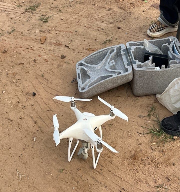
B-CIJVAL provides comprehensive land and engineering surveying services, including topographic, hydrographic, geodetic, cadastral, control and boundary surveys. We utilize GNSS/GPS, Total Station, UAV/drone and remote sensing technologies to capture accurate spatial data for engineering, infrastructure, land development and environmental projects.
Our GIS services include spatial data acquisition, database development, terrain and watershed analysis, flood and erosion mapping, risk assessment, land-use and land-cover mapping and spatial modelling. We integrate field data, aerial imagery and satellite data to produce reliable maps, geodatabases and decision-support information for planning, design, environmental management and infrastructure development.
Methods & Tools
How the work is carried out
- Surveying
- GNSS/RTK GPS, Total Station, UAV/Drone, hydrographic and geodetic surveying.
- GIS & Mapping
- ArcGIS, QGIS, satellite imagery, remote sensing and spatial databases.
- Data Acquisition
- Ground truthing, aerial photography, LiDAR and spatial data collection.
- Analysis & Modelling
- Terrain modelling, watershed delineation, flood and erosion risk mapping, spatial analysis and geoprocessing.
Applied In
Services using this division
Have an Engineering or Construction Project?
Tell us what you are planning. We will tell you what it takes to deliver it.